The fieldwork survey achieved in the study areas of Upper Wadi Hudruj and Jibal al-Khashabiyeh provided valuable information allowing to feed the discussions on different thematics raised by the research on the Late Prehistoric occupation of the arid margins of the Near-East.
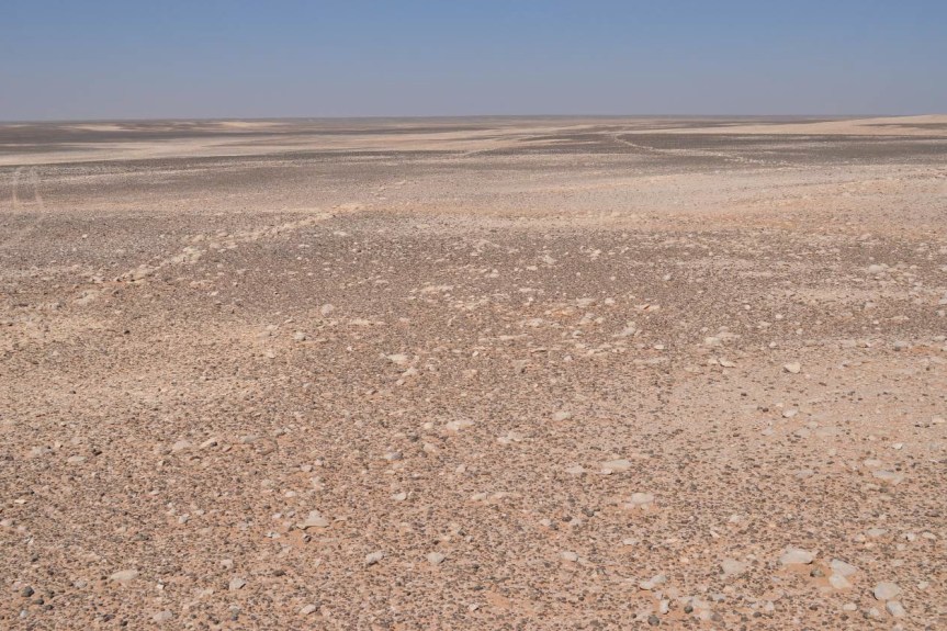
The Upper Wadi Hudruj study area is located at about 100 km east of al-Jafr. The area covers a rectangular zone 20 km in length from east to west and 10 km in width from north to south. The study area presents a relatively smooth and gentle topography, ranging between 954 m in the southwest and 884 m in its lowest point to the northeast. Although Wadi Hudruj originates only a few kilometers to the southeast of the zone, its profile is already relatively strongly marked by a 15 m deep cut into the limestone plateau. Thepresence of the flint nodules covering the surface of the plateau is a geologic characteristic of this region designated in Arabic as “Ard as-Suwwan” (land of the flint). The flint beds embedded into the limestone are particularly visible in the section exposed by the Wadi Hudruj banks, where they constitute a raw material easy to exploit.
The area of Jibal al-Khashabiyeh is located immediately to the souh-east of Upper Wadi Hudruj. The specificity of this area is the presence of an escarpment, marking the oriental limit of the Jafr Basin. Following a NNW/SSE orientation, this 30 m height steep slope is dissected by numerous small wadis and gullies which drain the water towards the west. The top of the escarpment, rising to a maximum altitude of 980 to 1000 m. a.s.l., is bounded to the east by an even and almost flat plateau, gently sloping down towards the east. The main drainage systems of the region originate from this area. The wadi beds, still very shallow at that point, are fed by several Qe’an natural depressions. The remains identified in this area provided a very different archaeological record compared to the one of the Upper Wadi Hudruj district. This is reflected by clear distinctions in the nature of sites attributed to a Late Prehistoric time frame, as well as in their densities. The primary goal of the research in this study area was to check, study and document the presumed kite structures identified on satellite images. Not only this essential aim was fully achieved by the fieldwork results, as described below, but also the survey allowed recognizing a great deal of stone enclosure campsites, some located in close vicinity of the kites. Additionally, a significant discovery was made by the identification of specialized flint knapping workshops, providing huge quantities of débitage remains. The lithic industry evidenced on these sites provided remarkable flint assemblages comprising diagnostic artefacts allowing to clarify the chronological sequence of the Late Prehistoric occupation of this area.